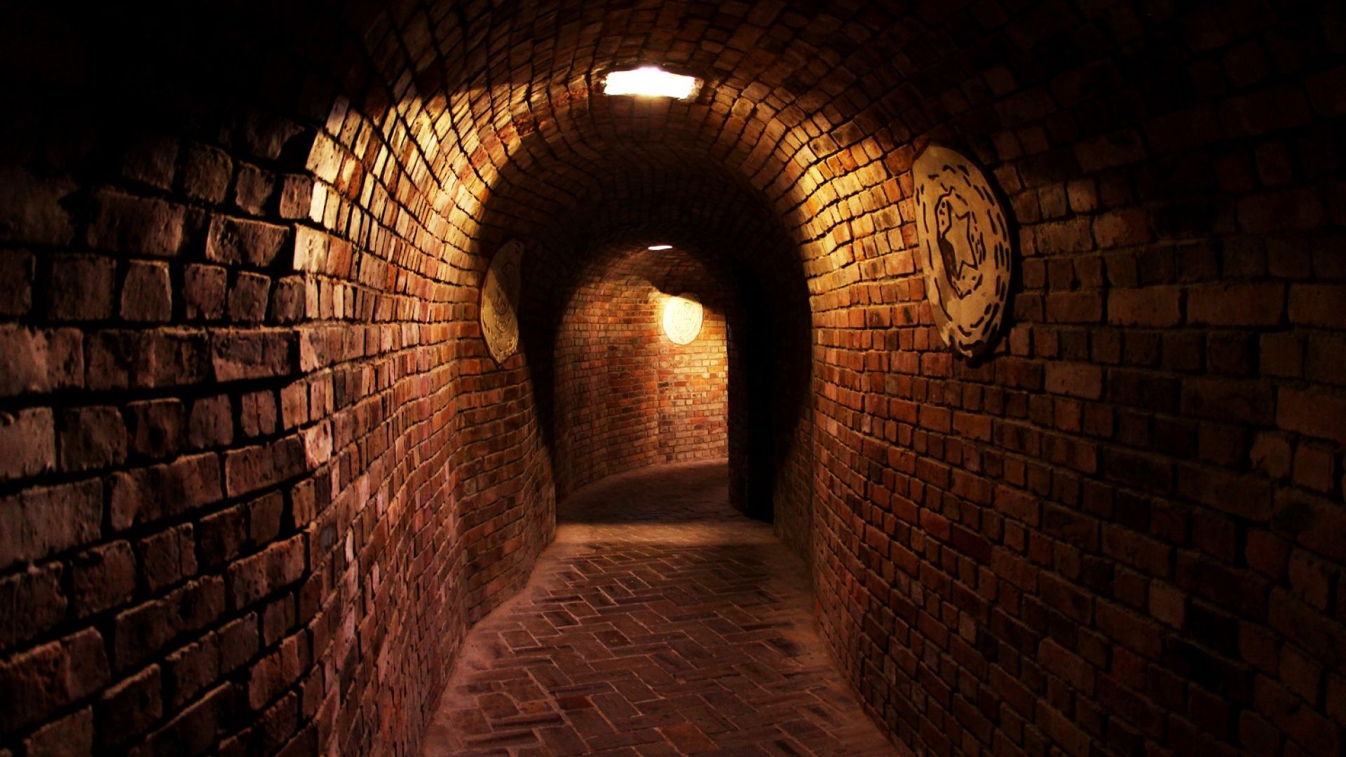
The Underground Tourist Route in Sandomierz was created on the safety mine works, when the former cellars and merchant warehouses were linked. It is 470 meters long and its denivelation can reach 12 meters.
Unused and for many year unsecured multilevel cellars of the 19th-century tenement houses were very often the cause of construction disasters. The underground tourist route is open for visitors since 1997. The entrance is at the back of the Oleśnicki-Family tenement house, few meters away from the market square. The chambers and tunnels, which had been droned for ages, are shrouded in mystery. Some say that they stretch under the Wisła river’s bottom into the castle in Baranów Sandomierski.
In 1963 new breakdowns and subsidences were noted in Sandomierz. The experts from the Academy of Mining and Metallurgy in Kraków designed a special program entitled “The Guidelines on Sandomierz Old Town Rescuing Process”. The works resulted in a maze of cellars, tunnels, excavation sites –multilevel and long underground town. The underground route of 470 meters was established and in 1977 it was opened for visitors. Its deepest chamber reaches 12 meters. In December 2007 the route was lengthened by the renovated chambers under the Oleśnickis-Family tenement house.