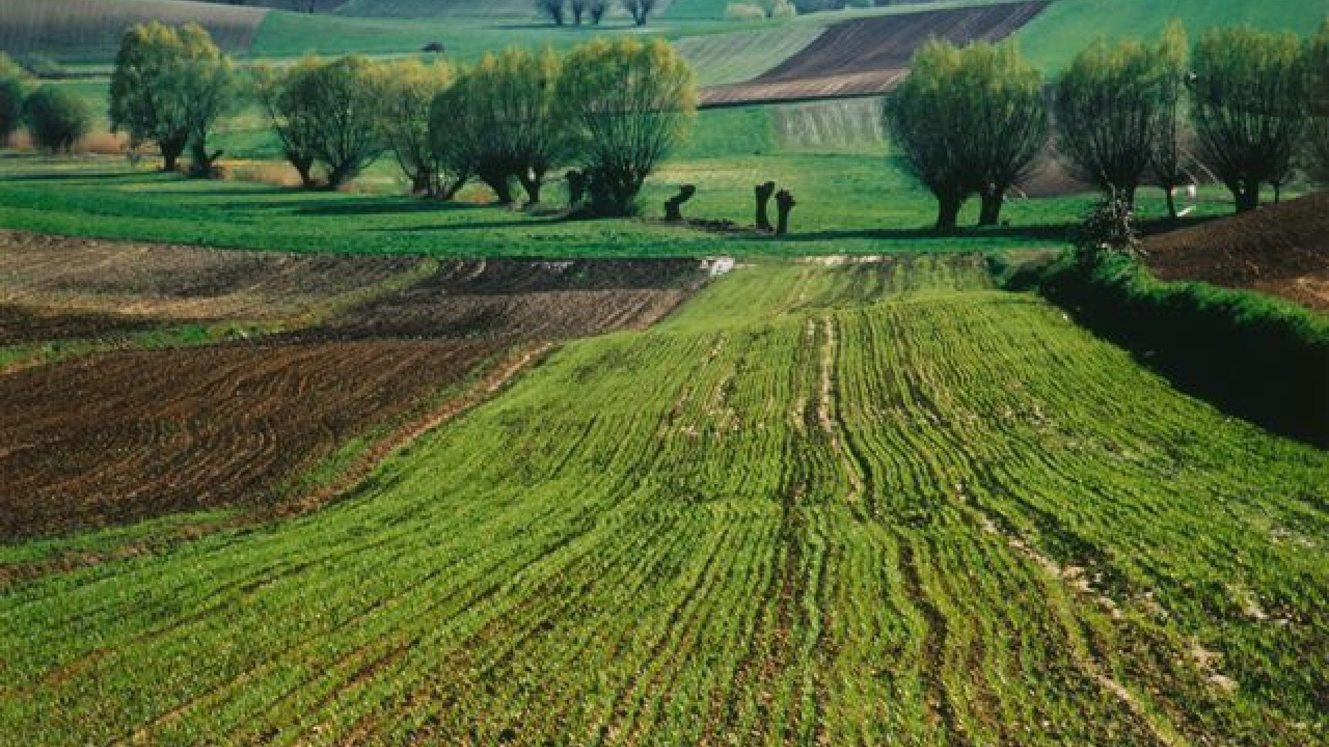
This scenic route leads through The Cisowsko-Orłowiński Landscape Park. It allows to see the turbulent history of the region during World War II. Geology fans will love the trail located in a small boulder fields.
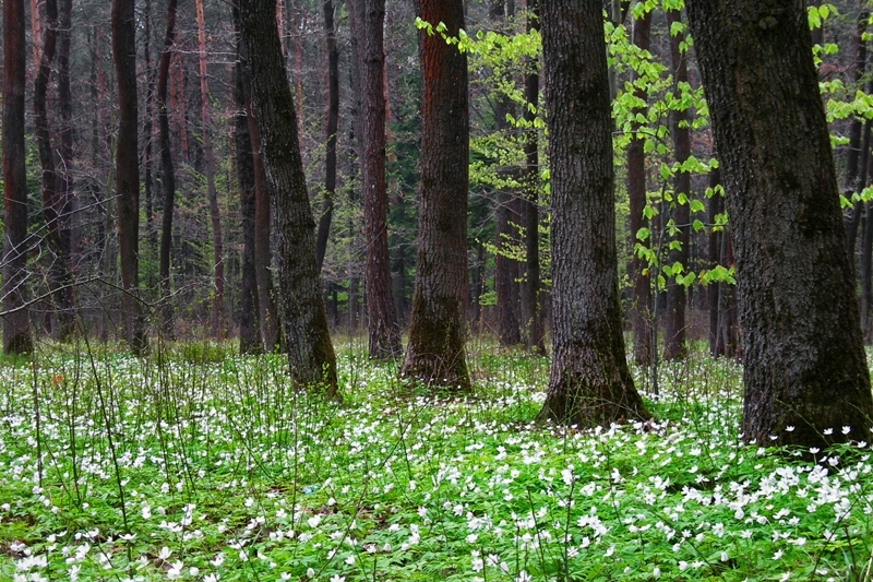 photo M. Słowik
 Course: Ociesęki – Koziel – Zamczysko – Widełki – Włochy – Stołowa – Września – Niwy - Daleszyce
Marking: section Ociesęki – Zamczysko – without marking; section Zamczysko – Daleszyce - blue marking.
Time: about 4:30h (Time does not include sightseeing).
Lenght: 18km
Zamczysko - isolated elevation in the Orłowińskie Band, forming extended over 2 km long ridge. Southern slope is steep, the northern is heavily fragmented.
Włochy – from the top of the mountain, one can admire landscapes of the Widełki Valley. From the left: Ociesęckie band, Mountain Zamczysko, Mountain Kamienna and Orłowińskie Chain.
Cisów Reserve - created in 1970 in the eastern part of the Cisowski Band with an area of 40.58 hectares, where a fragment of original mixed forest has been protected. It consists of trees, beeches, firs, pines, oaks, spruces, larches, and some trees which have already been over 160 years.
Stołowa - is a central hill of Cisowski Range, a fairly diverse surface slope. The red and white signs on the top lead to the place of encampment branch of "Barabbas," which has been commemorated by a cross with an information plaque. Near descending from the slope at the crossroads, the monument of 80ties is situated. Subtitles inform that guerillas troops camped in the area.
Września - about 250 meters from the tip of the hill is a sandstone of quartzite rock with a diameter of several meters. Since 1987, it is a monument of inanimate nature.